


A recent Pender County decision is a good reminder that flood maps aren’t set in stone. On October 20, 2026, Port City Daily reported that the Pender County Board of Commissioners approved a special use permit for a 236-site RV park and campground off Shaw Highway, about 11 miles from Holly Shelter Game Land. The catch: the project still depends on a letter from FEMA, because part of the property sits in a special flood hazard area. That letter, called a LOMR-F, is something many Pender County homeowners and buyers have never heard of, and it can matter a lot when you buy or sell rural or low-lying land. Here’s what happened and what it means for you, from the Aspyre Collective team.
What Pender County Approved
According to Port City Daily, the property covers about 52 acres of vacant land zoned Rural Agricultural, with roughly 32 acres planned for disturbance and close to 22 acres left as open space. Commissioners approved the permit after a two-hour quasi-judicial hearing, a court-style proceeding where the board can only weigh evidence presented at the hearing.
Key conditions reported
- No RV sites inside a special flood hazard area.
- A 180-day maximum for consecutive stays.
- No freestanding on-site lighting.
- Two entrances and exits maintained for everyday use, after commissioners raised concerns about a single access road.
- Water and wastewater handled on site through a community well and septic systems.
Neighbors who spoke at the hearing raised concerns about traffic on Orchid Road, the private dirt road proposed as the main entrance, and about whether long stays could turn the campground into de facto housing. A county staff report calls for widening part of Orchid Road and surfacing it with gravel. The project’s engineer said most RV spots are already outside the flood hazard area, and that the areas inside it would need roughly zero to one foot of fill, with two to three feet at the far edges.
What Is a LOMR-F?
FEMA flood maps label areas with a one percent or greater chance of flooding in any year as a Special Flood Hazard Area (SFHA), often called the 100-year floodplain. If you have a federally backed mortgage on a building in an SFHA, your lender will generally require flood insurance.
FEMA offers two main ways to change how a specific property is classified, as explained on its Change Your Flood Zone Designation page:
- Letter of Map Amendment (LOMA): FEMA’s finding that a structure or parcel on naturally high ground, not raised by fill, would not be flooded by the base flood. This is often the route when a map’s broad lines don’t match a lot’s actual elevation.
- Letter of Map Revision Based on Fill (LOMR-F): FEMA’s finding that a structure or parcel has been raised with earthen fill and would not be flooded by the base flood. That’s what the RV park’s applicants plan to pursue.
FEMA notes that if a map change is granted, the property owner may no longer be required to carry flood insurance and can send the determination to their lender to ask that the federal requirement be removed.
Why This Matters for Pender County Buyers
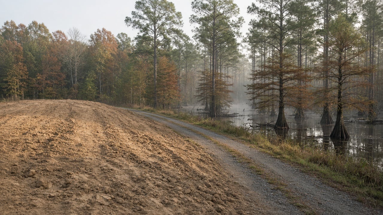
Pender County has a lot of low-lying land, from the Northeast Cape Fear River and its creeks to the swamps and pocosins near Holly Shelter. Buyers looking at acreage around Rocky Point, Burgaw, Currie, or along Shaw Highway often find that a flood zone line cuts through part of a parcel. A few practical points:
Check the map, then check the lot
Start with North Carolina’s Flood Risk Information System to see the official flood zone for a parcel. If only part of the land is mapped in the SFHA, where the house sits matters more than where the property line runs. An elevation certificate from a licensed surveyor shows how the structure compares to the base flood elevation.
Ask whether a LOMA or LOMR-F already exists
Some properties already have a FEMA letter on file. FEMA’s Map Service Center lists completed map changes, and sellers who have one should include it with their disclosures. It can save a buyer real money and time.
A map change doesn’t erase flood risk
A FEMA letter changes a property’s regulatory status, not the weather. Heavy rain and river flooding can reach homes outside mapped flood zones, and many Cape Fear area owners keep flood coverage even when their lender doesn’t require it. Talk to an insurance agent before you close.
Watch nearby fill and development
When land near you is raised with fill, it’s worth asking how stormwater will be handled. Pender County’s planning department posts permit and rezoning cases, and quasi-judicial hearings like this one are open to people with standing, such as adjacent owners.
What Sellers Should Know
If you’re selling land or a home in Pender County and your property is partly in a flood zone, gather what you have before you list: a survey, any elevation certificate, any LOMA or LOMR-F, and your flood insurance history. Clear documentation helps buyers and their lenders move faster and can head off surprises during underwriting.
Frequently Asked Questions
Does a LOMR-F mean I don’t need flood insurance?
It may remove the federal requirement your lender applies, but a lender can still require coverage, and flood risk doesn’t disappear. Many owners keep a policy anyway.
How do I request a map change?
FEMA accepts requests through its Online LOMC portal or by mail. Most owners work with a licensed surveyor or engineer, who can provide the elevation data FEMA needs.
When will the RV park open?
No timeline has been announced. The project still depends on FEMA approving the LOMR-F for the parts of the site where RV lots are planned.
Thinking About Land or a Home in Pender County?
Flood zones, private roads, septic, and wells all come up when you buy outside town limits, and the details vary from one parcel to the next. If you’d like help sorting out a property in Rocky Point, Burgaw, Hampstead, or anywhere in the Cape Fear region, contact Aspyre Collective and we’ll walk you through it.