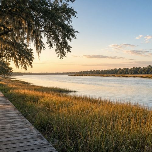



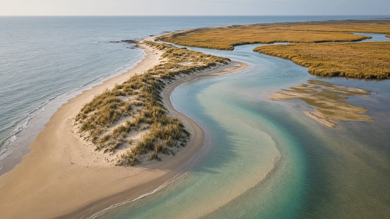
If you own, rent out, or are shopping for a home near the north end of Wrightsville Beach, Mason Inlet is about to get some attention. New Hanover County is lining up its 2026-2027 maintenance dredging of the inlet, and the work is scheduled to happen this winter, after the busy season and before spring. Here’s what the project involves, where the sand is going, and what it means for homeowners, boaters, and buyers along this stretch of the coast.
What’s happening at Mason Inlet
Mason Inlet is the channel between the north end of Wrightsville Beach and the south end of Figure Eight Island. It’s a lively inlet that shifts and shoals over time, and the county maintains it on a regular cycle. The Wilmington StarNews reported on Sept. 30, 2026, that the county was reviewing bids for a dredging project at the inlet, which some boaters have described as unnavigable.
According to the county’s bid posting for the Mason Inlet Maintenance Project 2026-2027, the base work includes hydraulic dredging of roughly 376,000 cubic yards of shoaled sand from Mason Inlet, Mason Creek, and the adjacent Atlantic Intracoastal Waterway. An optional item would remove about 75,300 more cubic yards seaward of the inlet. The contractor also handles shaping and grading the beach and environmental monitoring.
The contract and the timeline
As WECT reported on Oct. 14, 2026, New Hanover County commissioners took up a $4,480,080 contract with Cottrell Contracting Corp. at their Oct. 19 meeting. The contract is based on a rate of $7.58 per cubic yard. It’s funded through room occupancy tax revenue (the tax paid by visitors on short-term stays) and a state grant, and the work is set to be completed by March 31, 2027.
The county’s bid documents note that it intended to award the contract before Nov. 15, 2026, once it has authorization from the U.S. Army Corps of Engineers. Coastal dredging work like this is usually kept out of the warm months to protect nesting sea turtles and other wildlife, which is why it runs through winter.
Where the sand goes
The dredged sand will be placed on the southern beachfront of Figure Eight Island. That makes this a two-for-one project: it clears the channel for boats and adds sand to a stretch of beach that sits right on the inlet’s edge. For Figure Eight owners on the south end, that’s a meaningful bit of beach maintenance paid for with tourism tax dollars rather than a special assessment.
What it means for homeowners and buyers
Boaters and waterfront owners
If you keep a boat at a dock off Mason Creek, the Intracoastal near Porters Neck and Ogden, or at a marina near the north end of Wrightsville Beach, a deeper, cleaner inlet makes getting to the ocean easier and safer. Water access is a big part of what people pay for in these neighborhoods, so a well-maintained inlet supports the appeal of those homes. During the work itself, expect equipment, pipeline, and some temporary restrictions near the inlet and on parts of the beach.
North-end Wrightsville Beach and Figure Eight Island
Homes near an active inlet live with change. Sand comes and goes, and the shoreline can look different from one year to the next. Regular maintenance is one of the ways the county manages that. If you’re buying near the inlet, ask how the shoreline has changed over time, whether the property sits in a mapped inlet hazard area, and what the flood zone and insurance picture look like. Those answers matter more than any single project.
Short-term rental owners
Because the project is paid for partly with room occupancy tax, it’s a good reminder of how the visitor economy funds beach upkeep across New Hanover County. The winter work window also means summer guests shouldn’t see dredging equipment on the sand.
Smart questions before you buy near an inlet
- What flood zone is the home in, and what do current flood and wind insurance quotes look like?
- Is the lot in an inlet hazard area or near the oceanfront setback line?
- How has the shoreline in front of the home changed over the past several years?
- For homes with docks, how deep is the water at low tide, and how is access to the inlet?
- Are there any HOA or community assessments planned for beach or channel work?
FAQ
When will the Mason Inlet dredging happen?
The work is scheduled for the 2026-2027 winter season and is set to be completed by March 31, 2027, according to WECT and the county’s bid documents.
Who is paying for it?
WECT reported that the project is funded through room occupancy tax revenue and a state grant, not through property owner assessments.
Where does the dredged sand go?
The county’s bid posting says the sand will be placed on the southern beachfront of Figure Eight Island.
Will it affect beach access at Wrightsville Beach?
Expect temporary work zones near the inlet while dredging and beach grading are underway. Check New Hanover County and Town of Wrightsville Beach updates for specific closures.
Thinking about the north end?
Homes near Mason Inlet, on Figure Eight Island, and along the Intracoastal near Porters Neck each come with their own trade-offs on water access, flood insurance, and shoreline change. We’re happy to walk through them with you, pull the flood and insurance details for any home you’re considering, or talk through what your property could sell for. Reach out to Aspyre Collective and we’ll help you make a confident move on the coast.