


Leland’s next wave of growth keeps taking shape on paper, and one of the newest filings sits just off River Road. According to North Brunswick News (Oct. 27, 2026), a revised plan for the roughly 145-acre Jackey’s Creek East property lays out a walkable neighborhood with a conservation park, a central plaza, pedestrian paths, and a new street network. It’s an early-stage plan, not a construction schedule, but it’s worth understanding if you own a home in northern Brunswick County or you’re thinking about buying there.
Here’s what was filed, what Leland’s FlexCode zoning means in plain terms, and how to keep tabs on it.
What the Jackey’s Creek East Plan Shows
North Brunswick News reported that the Jackey’s Creek East New Community Plan was first submitted Sept. 18 and revised Oct. 16 after comments from town staff. It was prepared by engineering firm WithersRavenel for Jackeys Creek Investors LLC. Based on that reporting, the plan:
- Covers about 144.87 acres, organized as a traditional neighborhood development under Leland’s FlexCode.
- Sets aside about 26 acres for natural areas and about 20 acres for lower-intensity development, with the remaining roughly 100 acres in zones that allow progressively more intensive development.
- Places the highest-intensity areas generally near Jackey’s Creek Boulevard and along the eastern side of the property.
- Includes a proposed 11.17-acre conservation park at the northern end, plus a green, a central plaza, pedestrian passages, and a site set aside for a civic building.
- Identifies 6.01 acres of public gathering and green space in the neighborhood area, more than the 4.87 acres the FlexCode requires.
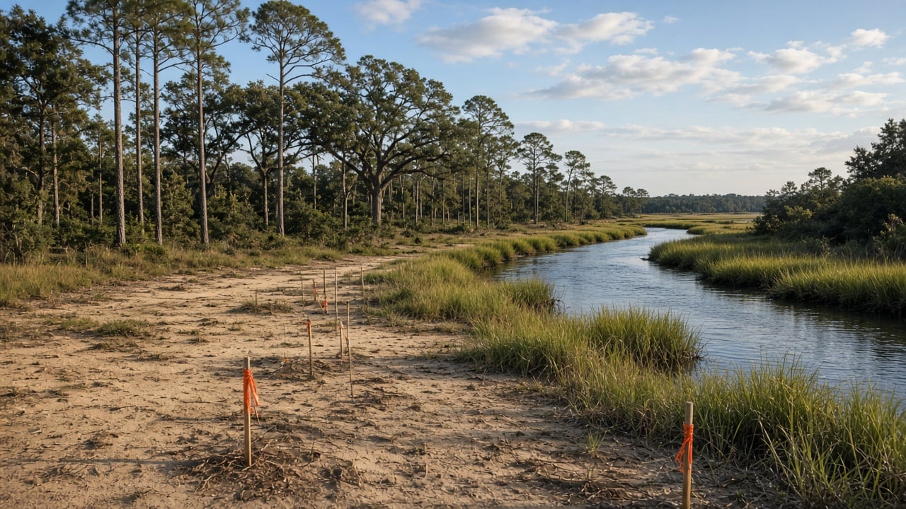
- Maps wetlands, a 50-foot vegetated buffer, and stormwater ponds to handle runoff from public roads.
Just as important is what the plan doesn’t say. It doesn’t specify how many homes would be built, how much commercial space there would be, or when construction might start. The filing also doesn’t include a traffic study or a detailed utility-capacity analysis, according to the same report.
Leland’s FlexCode, in Plain Terms
Most zoning sorts land by use: houses here, stores there. Leland’s FlexCode works differently. It focuses on the character of a place, using “transect” zones that run from natural land to more urban, mixed-use areas. Plans are built around a “pedestrian shed,” which is a way of placing shops, parks, and gathering spots within roughly a quarter-mile walk of homes.
For buyers, that usually translates into neighborhoods with sidewalks, street trees, smaller blocks, and a mix of housing types closer together than a typical cul-de-sac subdivision. One of the street designs in the Jackey’s Creek East plan includes bike lanes, a landscaped median, and a 10-foot path for walkers and cyclists, per North Brunswick News.
How It Fits With Jackey’s Creek West
The East plan is a separate, much smaller filing than Jackey’s Creek West, which North Brunswick News describes as more than 1,200 acres along U.S. 17 and Brunswick Forest Parkway. During the West review, residents raised concerns about traffic, flooding, and utility capacity, and town staff asked for revisions to road layouts, civic spaces, and acreage figures. Expect those same questions to come up again as the East plan moves forward.
What It Means for Homeowners Nearby
If you live in or near the River Road and Jackey’s Creek corridor, here’s what to keep in mind:
- Traffic: New neighborhoods and commercial space can add trips to River Road, U.S. 17, and nearby connectors. Watch for a traffic study as the review continues.
- Drainage and wetlands: The plan maps wetlands and stormwater ponds. If your property sits downhill or near the creek, it’s reasonable to follow how stormwater is handled.
- Amenities: A conservation park, plaza, and walkable paths could become real neighborhood draws over time, which tends to matter to buyers.
- Timing: With no construction timetable in the filing, any real change on the ground is likely a ways off.
What It Means for Buyers
Leland remains one of the most active growth areas in the Wilmington region, and plans like this one shape what the area looks like five or ten years from now. If you’re buying nearby, ask about planned development around the home you’re considering, look at the town’s development activity maps, and check flood zone status before you’re under contract. Our team can help you sort out what’s approved, what’s only proposed, and what it could mean for a specific street.
For Sellers
If you’re selling near the corridor, buyers may ask about nearby plans. Being ready with accurate, sourced information (and being clear that a plan isn’t an approval) helps keep the conversation calm and factual.
How to Follow the Project
Check the Town of Leland’s website for planning agendas, public notices, and development activity. Plans like this generally go through staff review before any public meeting, and the town posts notices ahead of hearings.
FAQ
Has Jackey’s Creek East been approved?
Not based on current reporting. North Brunswick News described a revised plan filed Oct. 16, 2026, after town staff comments. Check Leland’s planning records for its status.
How many homes are planned?
The plan doesn’t say. It sets zones for development intensity but doesn’t identify individual lots, home counts, or commercial square footage.
Where is the property?
It’s in Leland near River Road, with the more intensive areas planned near Jackey’s Creek Boulevard and the eastern side of the site.
Is this the same as Jackey’s Creek West?
No. Jackey’s Creek West is a separate, much larger plan of more than 1,200 acres along U.S. 17 and Brunswick Forest Parkway.
Thinking About Buying or Selling in Leland?
Growth in northern Brunswick County moves fast, and it helps to have someone who’s watching the details. Whether you’re buying near River Road, selling in an established Leland neighborhood, or just want to know how new plans could affect your street, we’re glad to help. Contact Aspyre Collective to talk with our local team.