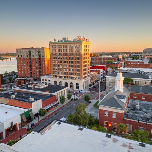

For most buyers in South Eastern North Carolina, the Intracoastal Waterway (ICW) is simply "the view." It’s the glittering ribbon of water you cross to get to Wrightsville Beach or the highway for your Sunday boat cruise to Masonboro Island.
But if you look at a map from 1920, the coast looks radically different.
The ICW is not a natural river; it is a massive, man-made engineering scar that fundamentally reshaped the geography of New Hanover, Pender, and Onslow counties. Understanding this history gives you a massive advantage in understanding "why" land values are what they are today.
Here is the insider look at "The Big Dig" that created our modern coast.
The Myth: "It’s Always Been an Island"
The most common misconception we hear from buyers involves Carolina Beach and Kure Beach.
The Reality: Before 1930, this area was a long peninsula connected to the mainland. You could technically walk from Monkey Junction to Fort Fisher without crossing a bridge.
The Change: In 1929, the Army Corps of Engineers dug Snow’s Cut—a massive trench through the sandy bluff of New Hanover County to connect the Cape Fear River to the sounds.
The Result: This man-made cut severed the land, instantly turning the peninsula into what we now call Pleasure Island. That "bridge traffic" you sit in today exists because engineers decided 90 years ago that boats needed a shortcut.
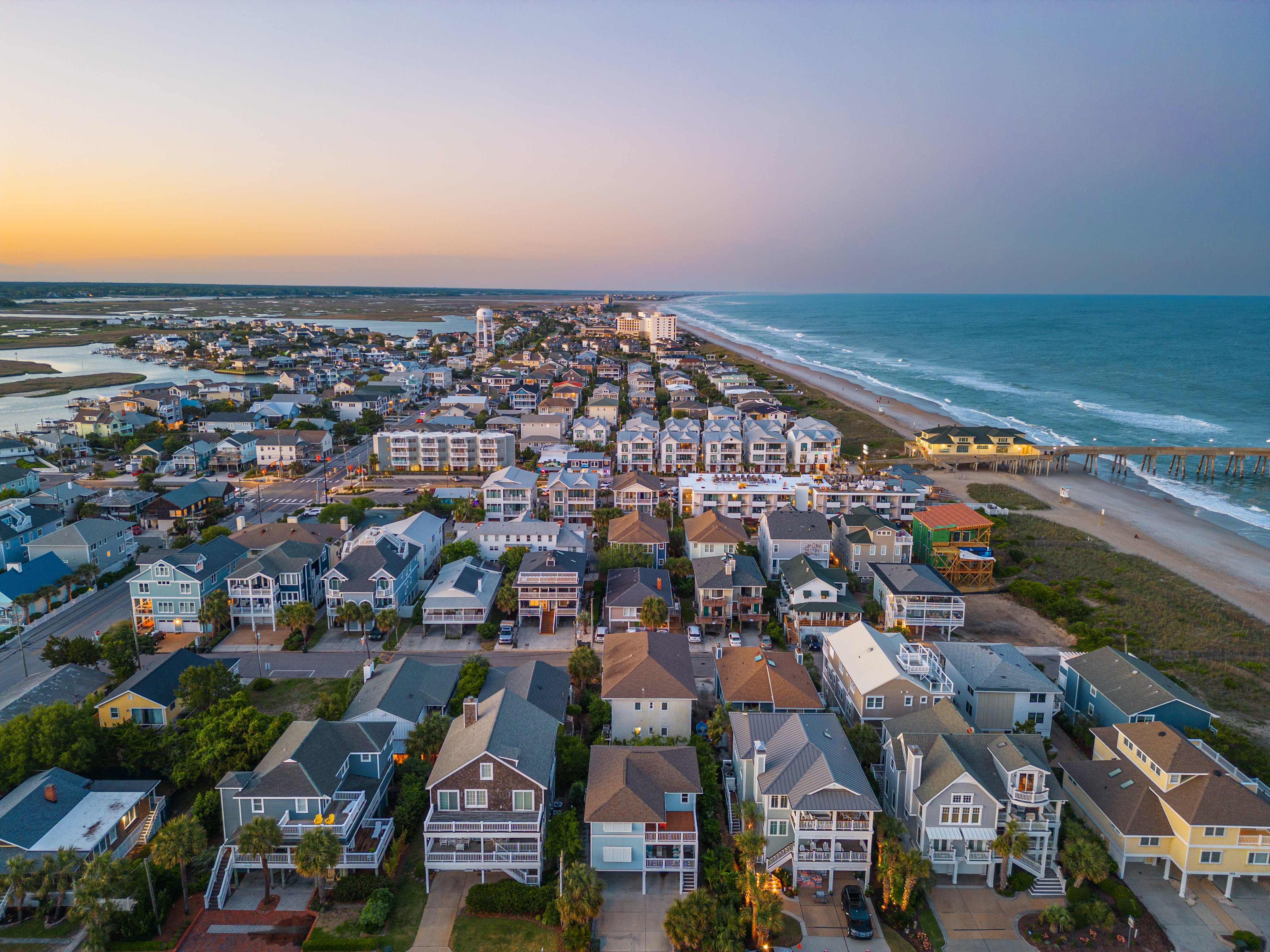
Wrightsville Beach & The "Marsh-to-Land" Magic
While Wrightsville Beach was always a barrier island, the land behind it—specifically Harbor Island—is a testament to the dredging era.
The History: Harbor Island was originally known as "The Hammocks," a collection of marshy mudflats.
The Engineering: When the ICW was dredged in the 1920s and 30s, they needed somewhere to put the millions of tons of "spoil" (sand and mud). They pumped it onto the marshes.
The Real Estate: That spoil created the solid ground that now supports the multi-million dollar homes, the park, and the causeway on Harbor Island. You are quite literally living on the recycled floor of the waterway.
The "Highway 17" of the Water (Pender & Onslow)
North of Wilmington, the geography shifts. In Hampstead, Surf City, and Sneads Ferry, the ICW isn't a deep "cut" through land; it is a dredged channel through shallow sounds (like Stump Sound).
The Investor Insight: This is why "deep water" access is so prized in Pender County. Much of the water outside the designated channel is historically shallow (sometimes inches deep at low tide).
The Spoil Islands: The small, uninhabited islands you see running parallel to the ICW (often used for picnics and camping) are also man-made piles of dredge spoil. They are the "leftovers" of the excavation that allow you to navigate your center console from Topsail to Swansboro.
Your Next Step
When you buy waterfront property in Coastal NC, you aren't just buying land; you are buying access to a federal highway system made of water. You need to know if your dock sits on natural deep water or a dredged channel that requires federal maintenance.
At Aspyre Realty Group, we look at the charts as closely as the floor plans. We are experts in listening to your boating dreams and communicating them into properties that actually float your boat. If you are looking for life on the water, let us guide you to the "cuts" and channels that offer the best access.
Check out this article next