


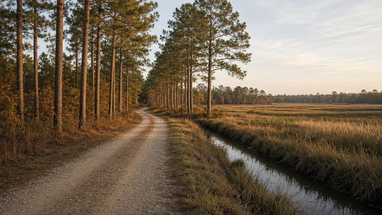
Rural Pender County is one of the last places in the Cape Fear region where you can still find acreage, quiet roads, and big stretches of woods and game land. It also means land-use decisions in the county’s rural areas can matter a lot to the people who live next door. A recent approval of a large RV campground off Shaw Highway is a good example, and it raises a few practical issues that anyone buying or owning rural land in Pender should understand: flood maps, shared and private roads, and how special use permits work.
According to Port City Daily (October 20, 2026) and the StarNews (October 25, 2026), Pender County Commissioners voted on October 19 to approve a special use permit for a 236-site RV park and campground north of the Holly Shelter Game Land, despite concerns from neighboring landowners. Here’s what was approved and what it can teach rural buyers and owners.
What Pender County Approved
Port City Daily reports that the campground is planned on a vacant 52-acre site off Shaw Highway, roughly 11 miles from Holly Shelter Game Land. About 32 acres would be disturbed, with the rest left as open space well beyond the county’s minimum. Plans include a community bathhouse, a central dumpster station, and on-site septic systems. Each RV lot would be about 2,100 square feet.
Commissioners approved the permit unanimously (one commissioner was absent) after a two-hour quasi-judicial hearing. Among the conditions reported were no RV sites in the special flood hazard area, no freestanding lighting on site, a 180-day cap on consecutive stays, and two ways in and out of the park to be maintained for everyday use.
The project isn’t a done deal yet. It remains contingent on FEMA approving a Letter of Map Revision based on Fill (LOMR-F) for parts of the property that sit in a mapped flood zone.
Flood Zones Matter Even Far From the Beach
A lot of buyers assume flood zones are a beach and waterfront issue. In Pender County, that isn’t always true. Rivers, creeks, swamps, and low-lying pocosin land mean special flood hazard areas show up well inland. This RV park site, miles from the ocean, is partly in a mapped 100-year flood zone.
What a LOMR-F Is
According to FEMA, there are two common ways an individual property can be officially removed from a special flood hazard area on the flood map:
- Letter of Map Amendment (LOMA): for property that sits on naturally high ground but got swept into the flood zone because of the map’s scale.
- Letter of Map Revision based on Fill (LOMR-F): for property that has been raised with fill dirt so the ground is at or above the base flood elevation.
Either one usually requires an elevation certificate from a licensed surveyor or engineer. FEMA says a LOMA or LOMR-F removes the federal requirement to carry flood insurance on a federally backed mortgage, but your lender can still require it. FEMA also notes that more than 25 percent of flood claims come from properties outside the high-risk zones, so dropping coverage entirely is a decision to make carefully.
Why This Matters to You as a Buyer or Owner
- If you’re buying rural land or a home in Pender, check the current flood map for the specific parcel, not just the general area.
- Ask the seller whether the property has an elevation certificate, a LOMA, or a LOMR-F on file. Those documents can affect insurance costs and lender requirements.
- If you own a home you believe sits on higher ground than the map shows, a LOMA may be worth exploring with a surveyor.
Private Roads and Access: The Issue That Took Up Most of the Hearing
Port City Daily reports that access was the biggest point of debate. Neighbors who own land next to the site said the planned main entrance, Orchid Road, is a single-lane private dirt road they have used for decades to reach their own property. The applicant’s attorney said the road is owned by the applicant. County staff noted a portion of the road would be widened and graveled, and commissioners added the condition for two everyday access points.
Shared and private roads are common in rural Pender County, and they’re worth understanding before you buy:
- Know who owns the road. A road you drive on every day may sit on someone else’s land.
- Look for a recorded easement. Your right to use a private road should be in writing and recorded, not based on long-standing habit.
- Check for a road maintenance agreement. Who pays to grade, gravel, or repair it, and how costs are split, matters a lot over time.
A title search and a real estate attorney are the right tools to answer these questions before closing.
How Special Use Permits Work in Pender County
The site is zoned Rural Agricultural, which is meant for agriculture, low-density homes, and limited non-residential uses. Some uses are only allowed with a special use permit, which is decided in a quasi-judicial hearing. As Port City Daily explains, that type of hearing works more like a court proceeding: only people with legal standing can speak, testimony is sworn, and the board must decide based on evidence presented at the hearing and whether the project meets the county’s specific criteria.
For homeowners, the takeaway is that showing up and voicing general opposition carries less weight in these hearings than presenting facts tied to the approval standards. If a special use permit is proposed near your property, it’s worth reading the staff report and the county’s criteria well before the hearing date. Pender County posts agendas and planning information on its official website.
FAQ
Is the RV park fully approved?
Commissioners approved the special use permit on October 19, 2026, but the project is contingent on FEMA approving a Letter of Map Revision based on Fill for parts of the site in the flood zone.
Can I get my Pender County home removed from a flood zone?
Possibly. FEMA’s LOMA and LOMR-F processes allow individual properties to be removed from the high-risk flood zone if survey data shows the ground is at or above the base flood elevation. Your lender may still require flood insurance.
Thinking About Rural Pender County?
From Burgaw to Rocky Point to the land around Holly Shelter, rural Pender offers space that’s hard to find closer to Wilmington, but every parcel comes with its own flood, access, and zoning details. We help buyers sort through those questions before they commit, and we help sellers present their property clearly. If you’re weighing a move or a sale, reach out to Aspyre Collective and we’ll help you look at the full picture.