
Flood Zones Decoded: The Difference Between X, AE, and VE Zones in the Cape Fear Region
For buyers and investors in South Eastern North Carolina—from the riverfronts of Wilmington to the beaches of Topsail and Oak Island—the term "Flood Zone" is often misunderstood.
Many assume a property is either "in a flood zone" or it isn't. The reality is that every property is in a flood zone; the difference lies in the level of risk and the cost of insuring it.
Whether you are looking at a sound-side retreat in Pender County or a family home in Brunswick Forest, understanding the three main designations—X, AE, and VE—is critical for protecting your investment.
1. Zone X: The "Low Risk" (But Not No Risk) Zone
Definition: Areas determined to be outside the 100-year floodplain.
Insurance Requirement: Not federally required by lenders.
Zone X is the gold standard for many buyers because it typically means no mandatory flood insurance. However, "Low Risk" does not mean "No Risk."
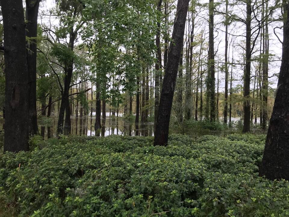
The Reality: Approximately 20–25% of all flood insurance claims nationwide come from Zone X properties. In flat coastal areas like Onslow and New Hanover counties, heavy rainfall can cause flooding even away from major water bodies.
Pro Tip: Flood insurance in Zone X is often under $600/year. It is highly recommended for peace of mind, even without a lender requirement.
2. Zone AE: The 1% Annual Chance Zone
Definition: High-risk areas with a 1% annual chance of flooding.
Insurance Requirement: Mandatory for federally backed mortgages.
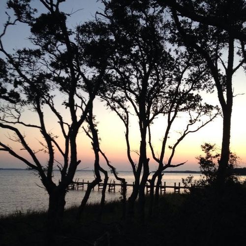
This is the most common high-risk designation in our coastal region. These properties are often near creeks, rivers, or the Intracoastal Waterway.
The Critical Number: In Zone AE, your insurance premium is dictated by your elevation relative to the Base Flood Elevation (BFE).
What to Look For: Homes elevated above BFE—on crawl spaces with flood vents or pilings—can have manageable premiums. If the living space is below BFE, premiums rise dramatically. Always request an Elevation Certificate before making an offer.
3. Zone VE: The Coastal High Hazard Zone
Definition: High-risk coastal areas with storm-induced wave hazards (velocity).
Insurance Requirement: Mandatory and typically the most expensive.
Zone VE properties sit directly on the oceanfront or sound-front where wave action is a threat.
Construction is Key: Homes must be elevated on open pilings to allow water and waves to pass underneath. Ground levels use breakaway walls and cannot contain living space.
The Investor View: Insurance costs are higher, but VE properties often command top-tier rental income—especially in peak season. It is a classic risk-reward tradeoff.
Summary Table: Quick Reference
| Zone | Risk Level | Mortgage Requirement | Key Factor |
|---|---|---|---|
| X | Low/Moderate | No | Great for budget, but risk still exists. |
| AE | High (Rising Water) | Yes | Elevation relative to BFE is critical. |
| VE | High (Waves/Wind) | Yes | Requires specialized construction (pilings). |
Navigating the Waters
Flood maps change, and insurance legislation in North Carolina evolves year by year. A property that looks "high and dry" might still have hidden costs, while a home in a designated flood zone could be engineered so well that premiums remain surprisingly low.
You don't have to be a flood map expert—you just need a partner who is. At Aspyre Realty Group, we help you see beyond the surface, ensuring your next coastal investment is as secure as it is beautiful.
Check out this article next